I've just got back from my latest trip to the USA. I flew in to Washington Dulles airport and we took a road trip across the Appalachians to Pittsburgh. On the way back we extended an overnight stopover into two nights so we could spend a day touring the Gettysburg battlefield. By chance, the route we took from Pittsburgh brought us to Gettysburg along the Chambersburg Pike, following a similar route to the battlefield of many of the confederate forces, including Heth's Division. We crossed the Herr Ridge, where confederate forces deployed on Day 1, and Willoughby Run, before crossing McPherson Ridge and entering Gettysburg, where we stayed at the Gettysburg 1863 Inn - a basic but comfortable motel on the Baltimore Pike close to its junction with the Emmitsburg Road.
On the day of the tour, we had pretty good weather, hot throughout the day, showery in the morning but much drier and sunnier after lunch. We decided to follow the free auto tour of the battlefield, available from the Visitor Centre, which largely follows the events roughly in chronological order.
The south end of Reynolds Avenue, looking north, at the time of the battle (c. 11am July 1st) the end of the federal line at the south end of McPherson Ridge. The memorial on the right is to the 121st Pennsylvanian, the extreme left flank unit of Rowley's 1st Brigade, 3rd Div, 1st Corps.
From the same position, looking south, the small concrete block on the left just beyond the car parking bay marks the extreme left flank of the 121st.
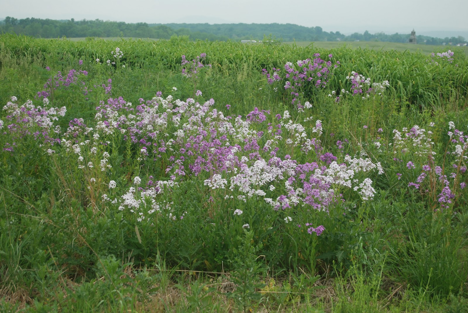
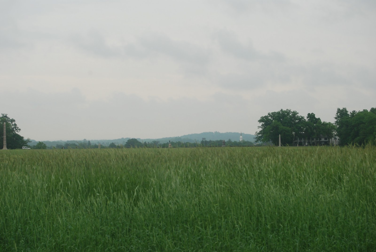
Views of the open nature of the ground in front of the southern flank of McPhersons Ridge - long grass and undulations in the ground are about the best protection confederate forces could have expected advancing across this area.
Left flank
To front
From left flank towards the centre, Reynolds wood is the stand of treees to the right running almost perpendicular to the federal lines.
The 121st Pennsylvanian Regiment monument.
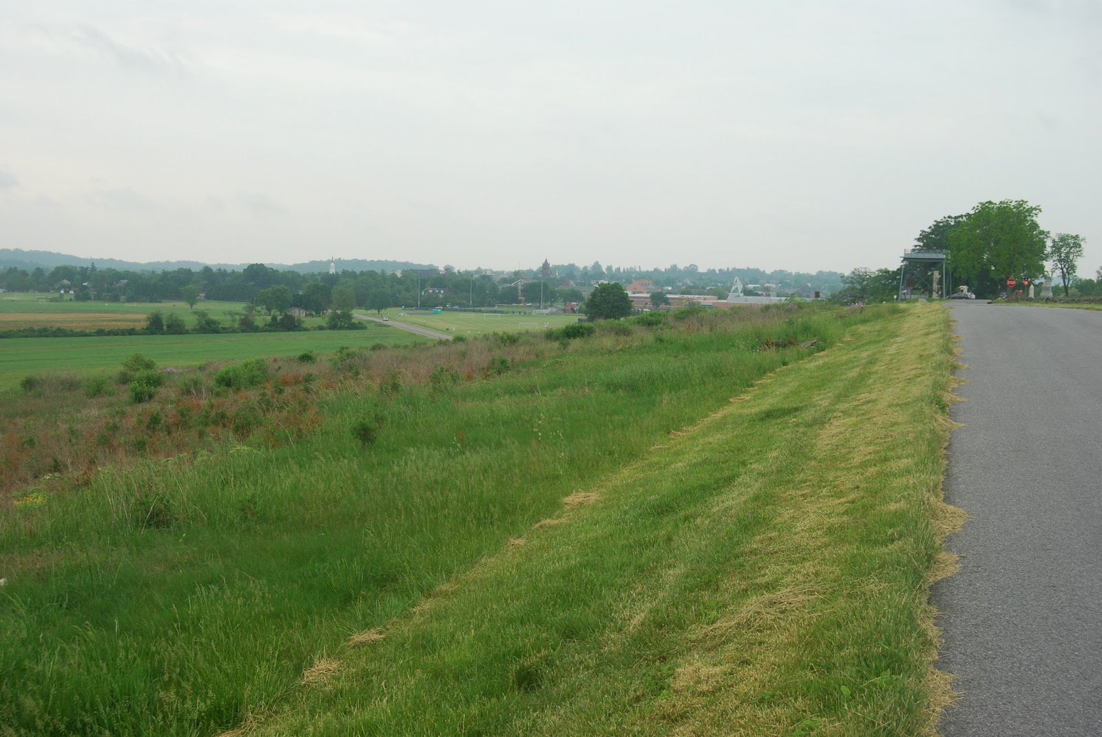
To the rear of the federal lines, Seminary Ridge covered in trees, with the Seminary steeple appearing over the top of the woods. Buford picked his HQ and observation point well as there is almost nowhere along McPherson Ridge and beyond where you can't see the steeple.
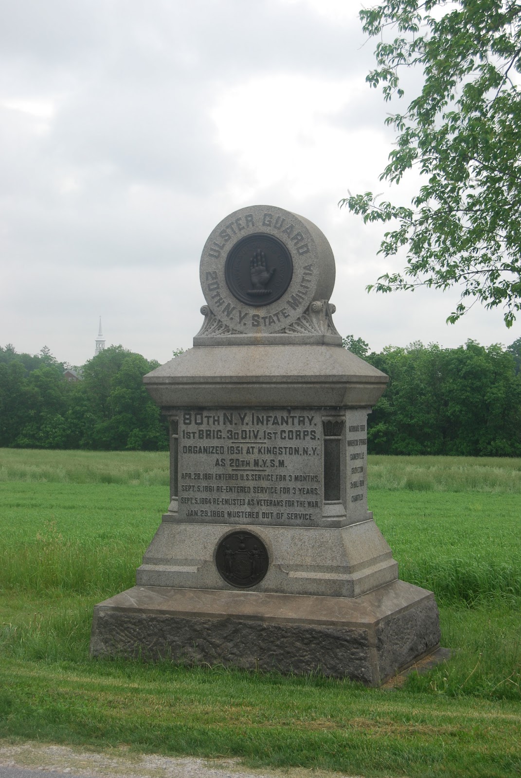
The 80th New York Infantry memorial, next federal unit in line.
1st Brigade, 3rd Division marker on McPhersons Ridge, the line was held here until c. 3:30pm on 1st July when the federal line was broken from the north and were forced to retire to Seminary Ridge and then, overnight, to Cemetary Ridge.
Canon marking the position of Battery A, 2nd US Artillery, to the north of the 80th NY infantry lines.
Note the subtle elevation of the road - from the ditch to the north a standing man presents little more than head and shoulders visible to troops approaching from the front.
Battery B 1st Pennslyvanian Artillery, next unit to the north.
142nd Pennsylvanian infantry marker, note the spire of the Seminary in the trees.
Abner Doubleday's memorial, CO of 3rd Division.
The buildings of the Lutheran Seminary appearing from the woods.
8th New York Cavalry, these would form the extreme left of the line on Seminary Ridge in the afternoon of 1st July.
The spot marking where General Reynolds was mortally wounded, at the eastern edge of Reynolds Wood. Confederate and federal trrops were exchanging volleys at a few paces seperation in these woods.
View looking south along McPherson Ridge from Reynolds Wood.
The McPherson Barn from McPherson Ridge.
The Lutheran Seminary from Reynolds Wood.
The McPherson Barn as it appears today.
The north flank of Reynolds Wood, the McPherson Barn is in the fields to the right of this view.
Battery L, 1st New York Light Artillery
151st Pennsylvanian Infantry memorial to the north of Reynolds Wood.
The southern edge of Reynolds Wood.
Wadsworth's Memorial close to the intersection of the Chambersburg Pike and McPherson Ridge
Memorial plaque to Davis's Brigade from the Army of Northern Virginia. These troops advance down the new railway cut, just north of the Chambersburg Pike, perpendicular to federal lines, allowing them to approach within charging distance of the federal line. When they emerged, these forces were raked by close range artillery and musket fire, causing them to retire to the cut, only to be charged at considerable cost before being called on to surrender.
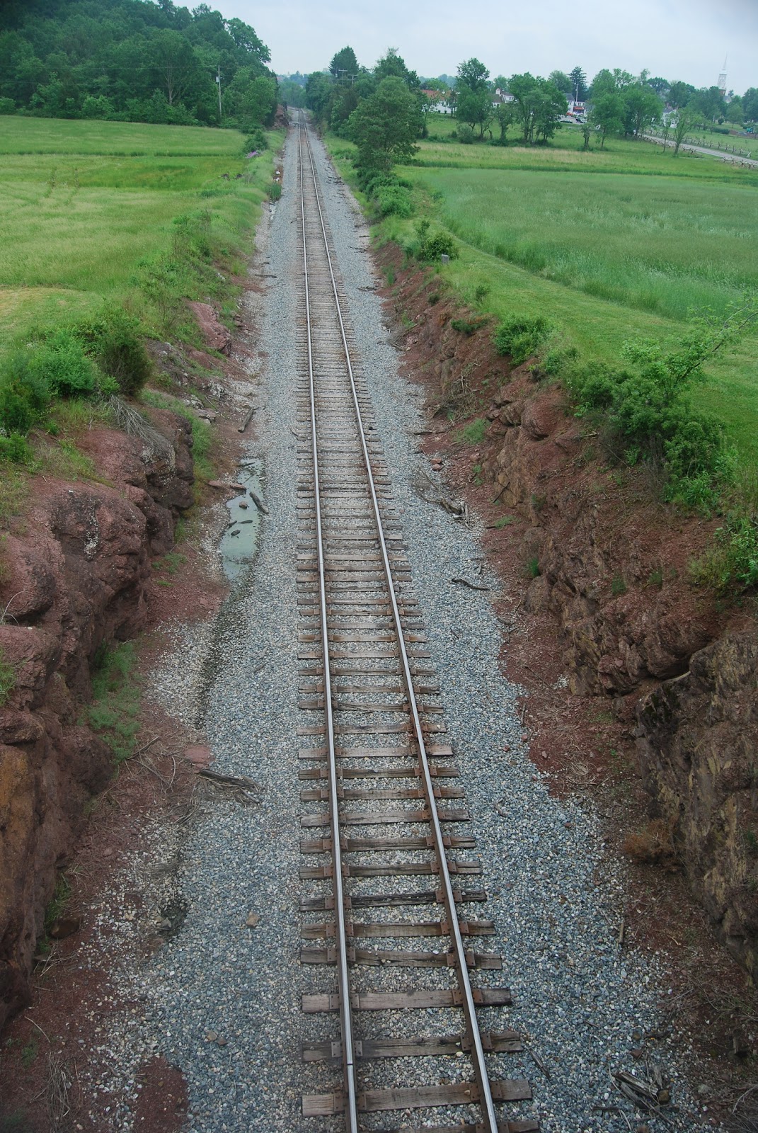
The railway cut, as it appears today, looking north from federal lines. Confederate forces advances towards the camera, using the cut as cover from flanking fire from federal lines to the left.
The cut looking south towards Gettysburg.
Memorials next to the cut for the 95th New York (2nd Brigade, 1st Div), who flanked the confederates emerging from the railroad cut, and the Iron Brigade (1st Brigade, 1st Div).
As above.
The modern road bridge over the railroad cut - this view, except for the bridge, almost exactly matches contemporary photgraphs of the cut, the main difference being the weathering and denudation of the initially pristime cut banks.
Various memorials between the railroad cut and Reynolds Wood.
The 14th Brooklyn Memorial, close to the railroad cut.
View to the north from Oak Ridge, the line of the railroad cut is the line of trees/bushes in the foreground - a great sap trench directed straight into federal lines on Oak Ridge. Troops would have been well concealed in here at least initially.
View to the north of the cut, note the open ground and good fields of fire.
6th New York Cavalry monument on Oak Ridge.
View along Oak Ridge to the Eternal Light Peace Memorial.
The Lutheran Seminary from Oak Ridge.
OK, so that's most of what we saw before lunch and covers most of the early engagement sites on McPherson's and Oak Ridges. More to follow.